


By Brad Lendon
International Homepage Editor
CNN.com
China appears to have rebuilt and expanded a military camp in the Himalayas that was the site of a deadly border clash with India, satellite images show.
The images, from the US satellite operator Maxar Technologies, were taken Monday, a week after what has been described as hand-to-hand fighting with sticks and clubs left at least 20 Indian troops dead.
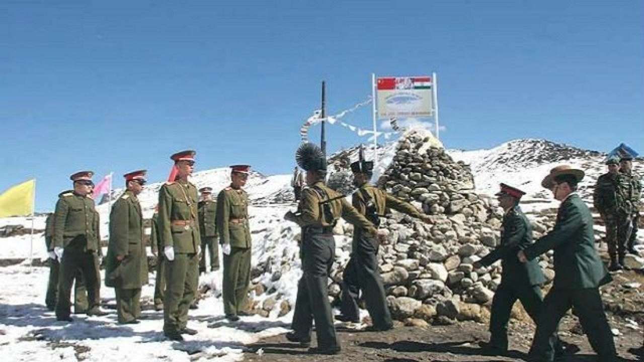
China has not given any casualty numbers from the clash in a river valley along the Line of Actual Control (LAC), the ill-defined and disputed border between the two powers high in the Himalayan mountains.
Beijing says the deadly clash began when Indian troops crossed into Chinese-controlled territory and tried to dismantle a tent camp erected by Chinese forces in the Galwan Valley at what is known as Patrol Point 14.


The new satellite images appear to show a large expansion of the Chinese encampment on the banks of a river since the fighting on the night of June 15.
“The small outpost … has grown hugely in size,” Nathan Ruser, a researcher at the Australian Strategic Policy Institute who first shared the images, tweeted on Thursday. “Indian troops aren’t dismantling this one.”