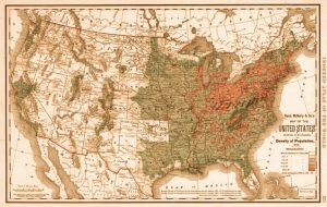
Maps have shaped American cultural ideas about travel, place, and ownership. Introduction From the earliest days of...
Cartography
How have maps been used by different empires and nations to secure control of the region? Originally...
A cartographic look back through history. By Iman GhoshSenior Writer and Publishing Operations ManagerVisual Capitalist The Shape...
Investigating how these precious documents circulated in the politically charged climate. By Dr. Valerie A. Kivelson1Thomas N....
Diagraming our landscape is an ancient feature of human cognition and behavior. One of the most significant...
It is the spatial dimension that makes geography different. By Dr. Robert HickeyProfessor of GeographyCentral Washington University...
His objective was to chart the country’s coast for the benefit of the mariners sailing to and...
We see how one 14th-century man understood the political and ethnic realities of his world. Introduction What...
A voyager named Tupaia guided Captain James Cook through the South Seas and drew a puzzling island-filled...
In the fifteenth century, the Portuguese embarked on an extensive mission to explore new maritime routes. Introduction...
This 1848 map proved more useful in Congress for its statistical data than for its colorful depiction...
By the end of the century, Congress had authorized a national archive of maps. Introduction In the...
This was the first map of the newly independent United States compiled, printed, and published in America...
A history of cartographers toying with the relationship between touch and sight. Originally published by the Harvard...
Urbano Monte’s planisphere, digitally stitched together. Source: Rumsey Map Center By Ahmed Kabil / 02.01.2018 Historian Near the end...
