Edited by Matthew A. McIntosh / 03.12.2018 Historian Brewminate Editor-in-Chief Identifying the Boundaries Europe is a continent...
Europe
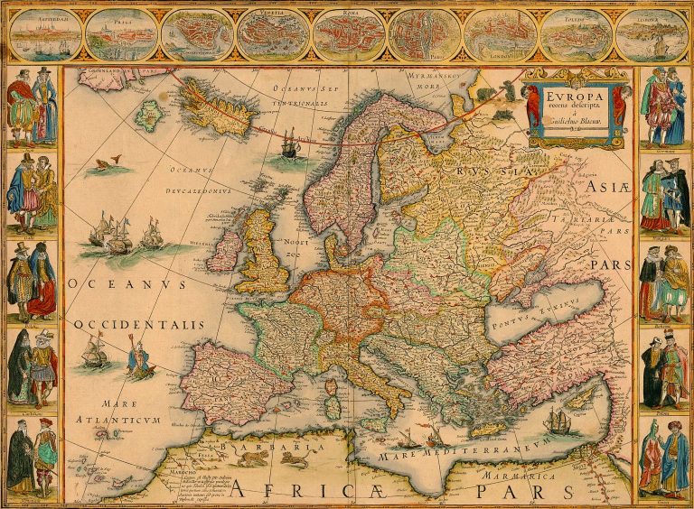
Map Of Europe 1700 by Andrew Fare / Public Domain By Dr. Robert von Friedeburg / 12.03.2010...
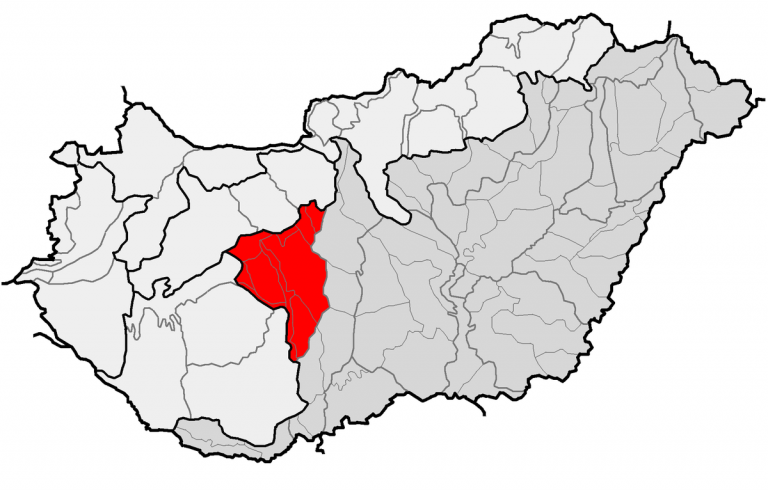
Location of geographical mesoregion of Mezőföld (red) and macroregion of Alföld (gray) within subdivisions of Hungary. / By Miaow Miaow, Wikimedia Commons...
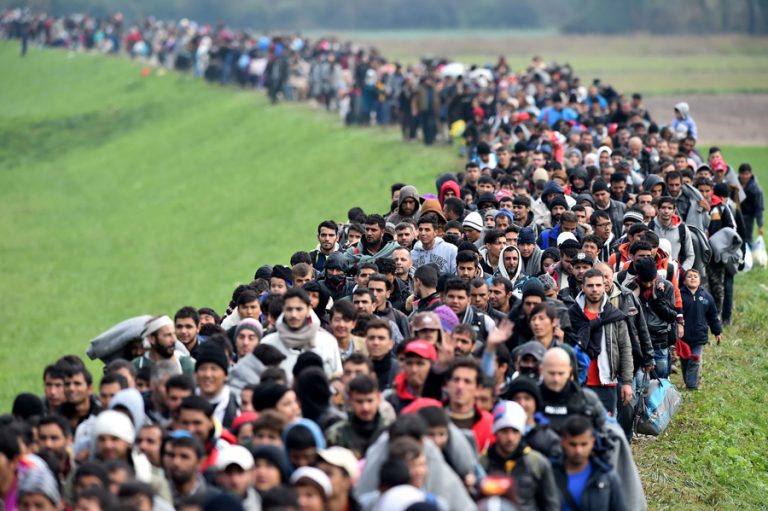
Migrants are escorted through fields by police as they are walked from the village of Rigonce to...
Photo by Flickr user Abhi Sharma, Creative Commons By Dr. Ernst Fischer / 12.03.2010 Department of Book...
Hernán Cortés / Wikimedia Commons By Dr. Reinhard Wendt / 12.03.2010 University Professor Head of the Department of...
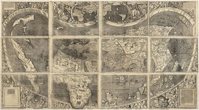
Waldseemüller (Martin Waldseemüller) map from 1507 is the first map to include the name “America” and the first...
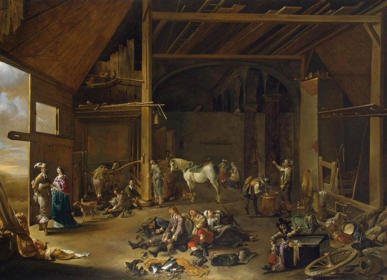
By Dr. John Childs / 08.01.2011 Emeritus Professor of Military History University of Leeds Abstract To operate...
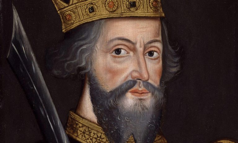
King William I or William the Bastard / Wikimedia Commons By Dr. Sara McDougall / 06.12.2017 Associate...
