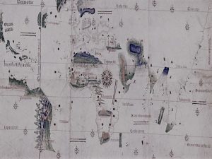
In the fifteenth century, the Portuguese embarked on an extensive mission to explore new maritime routes. Introduction...
Cartography
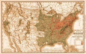
This 1848 map proved more useful in Congress for its statistical data than for its colorful depiction...
The map is organized on a grid—as was the actual city it represents. Introduction In 1581, an...
By the end of the century, Congress had authorized a national archive of maps. Introduction In the...
This was the first map of the newly independent United States compiled, printed, and published in America...
Investigating the intertwined categories of modern space and disaster. Originally published by the Harvard Map Collection, republished...
A history of cartographers toying with the relationship between touch and sight. Originally published by the Harvard...
The maps of the Moon that were created at the Lunar and Planetary Laboratory have long since...
Exploring the pioneering work of a leading feminist educator whose innovative maps of time laid the groundwork...
Analyzing the evolution of the map of the world in the 20th century, from the Navy League...
The map had much to say about the intellectual rapport between cartographers and navigators in the fifteenth...
Robert Knox Sneden colored the record. A descendant of American Loyalists and born in Nova Scotia in...
Exploring maps and mapmaking influenced the development of colonial North America. Originally published by Newberry Digital Collections...
What can old maps teach us about world history? What sorts of evidence do they offer? Originally...
From Paleolithic cave drawings to the futuristic possibility of immersive geographies. Originally published by Nova Scotia Community...
440 years old and filled with footprints, these aren’t your everyday maps. At the Blanton Museum of...
Behind every manuscript map lies an individual’s hand. Originally published by the Harvard Map Collection, republished with...
Exploring how British Library maps chart the evolution of man’s understanding of the earth and cosmos. Introduction...
A GPS for sixteenth-century travelers. By Mary Alexandra Agner Like many other familiar objects, the road map...
Examining how topographical views were often the result of artists touring in Britain and beyond. The lawyer Sir...
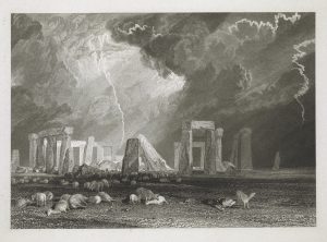
Britain’s prehistoric landscapes are depicted in prints and drawings across the British Library’s collections. The prehistoric monuments...
In the 16th century, most maps were published in Latin and cartographers were just starting to record...
Johannes Gutenberg printed his first Bible in 1455, and the first published sailing directions appeared thirty-five years...


